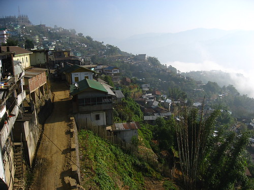
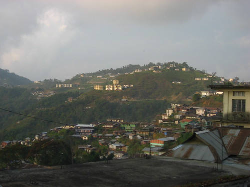
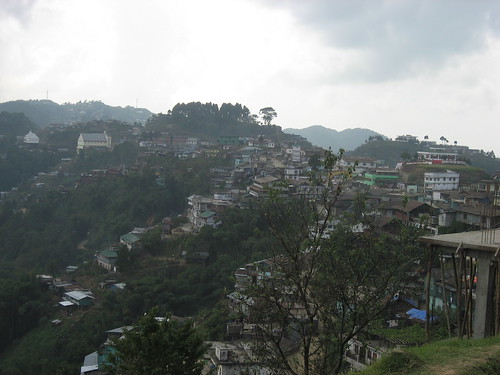
Like most settlements in Nagaland, Zunheboto is located on top of a long ridge (people here tell me it's not a big town, just a 'long' one). Historically, these provided more security in the event of enemy raids, when tribal warfare was still practised for the purpose of taking land or taking heads, or both.
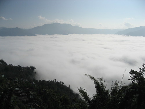
Zunheboto is pretty high in terms of elevation, and around this time of year it tends to get pretty cold (and windy) compared to other places in Nagaland. I'm told also that on a clear day, Mount Everest is visible from some parts of Zunheboto. I remain slightly skeptical because so far people have pointed in a direction that's been either too much to the southwest or northeast.
Of course, clear days here at this time of year are rare. My first few days here, I'd wake up most mornings to find a thick mist blanketing the valley below my lodge.
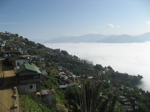
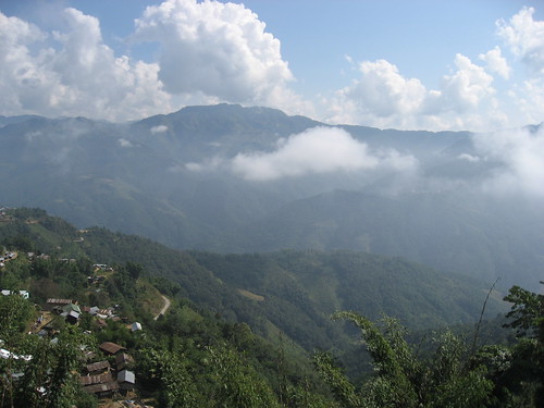
During the Ahuna festival, it would clear by afternoon, but since I moved to Zh.'s place, it just seems to get misty at all times of the day. The past two days, we've also had some pretty heavy showers at night and in the afternoon.
Well, here's to hoping for clearer skies (and fewer landslides)!
No comments:
Post a Comment